
The momentum is real, and the message is growing louder.
Now, we keep it going.
Going North.
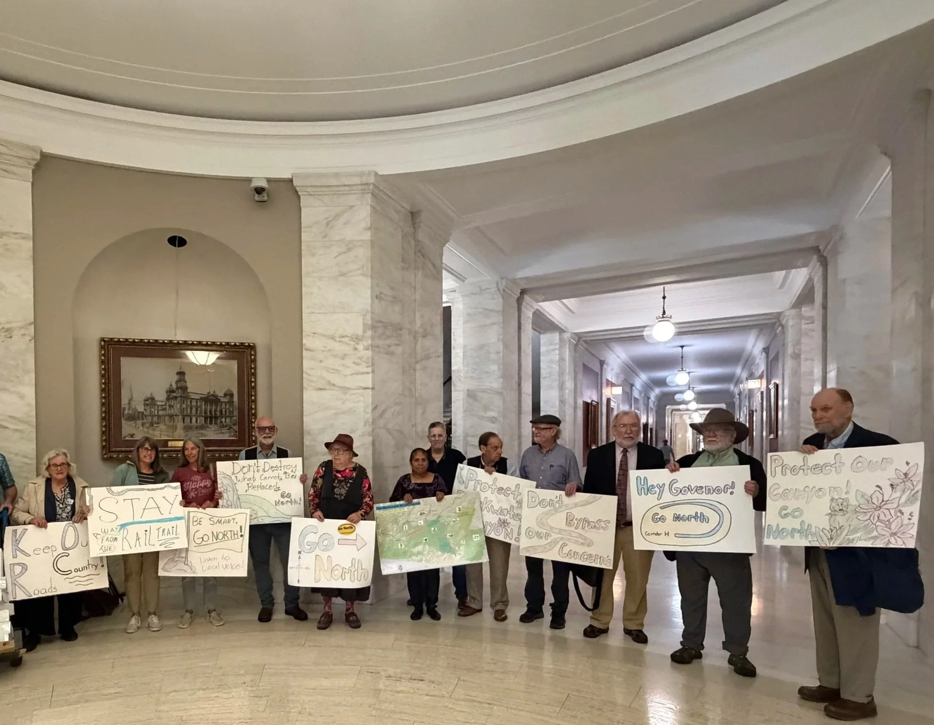
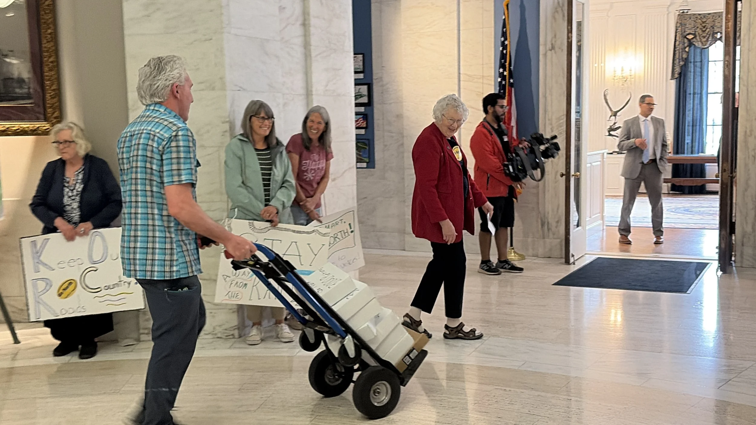
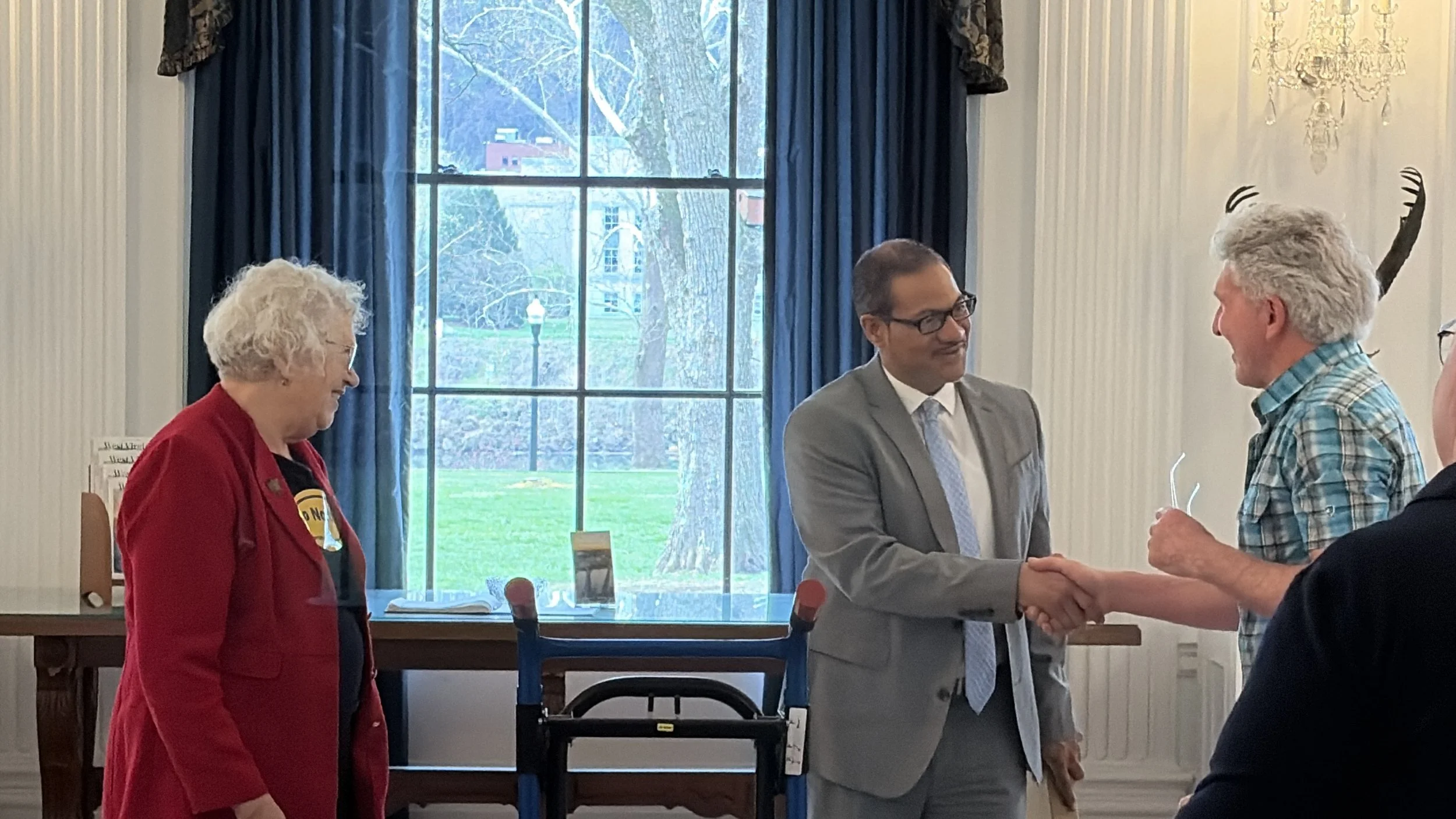
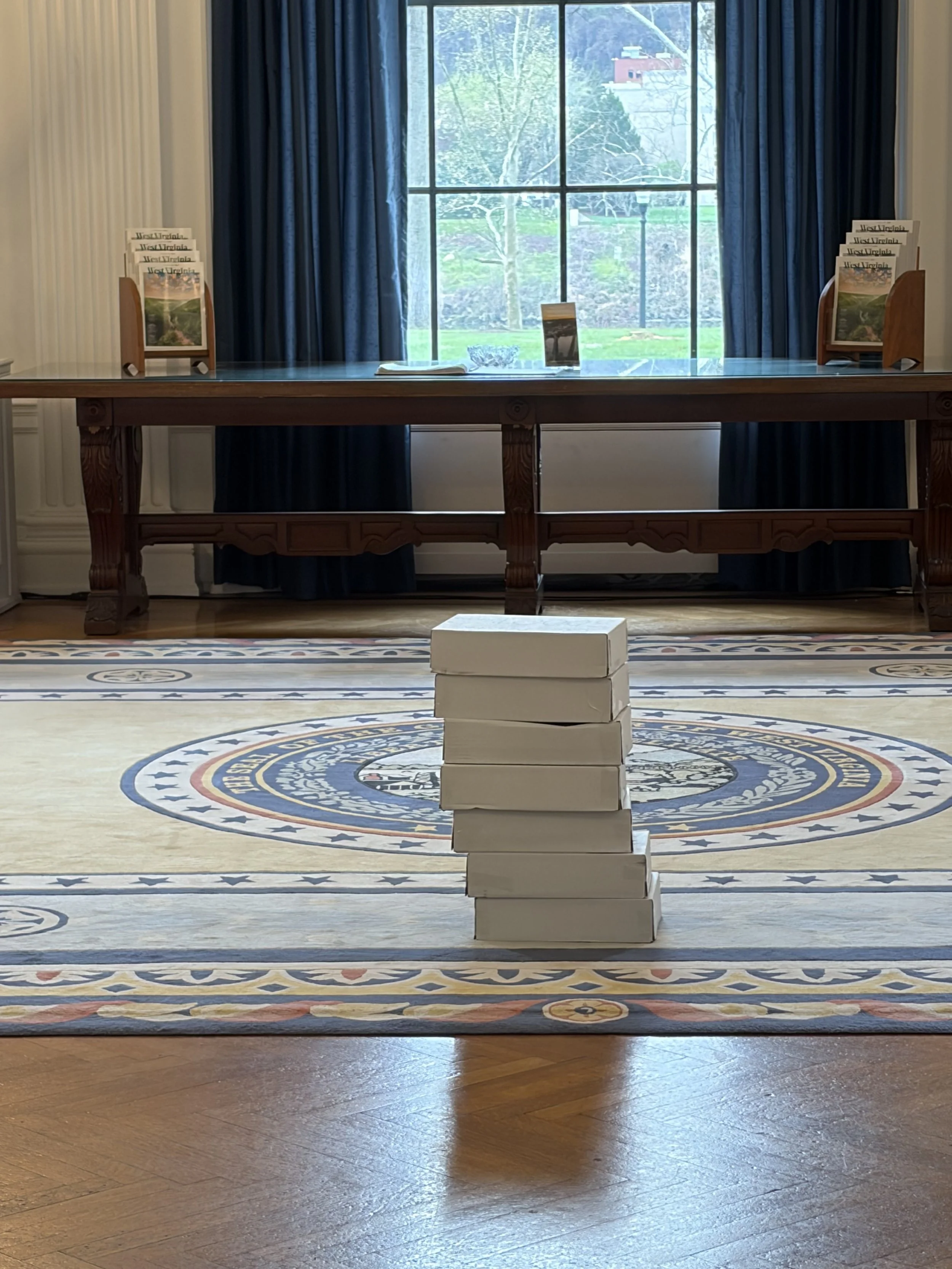
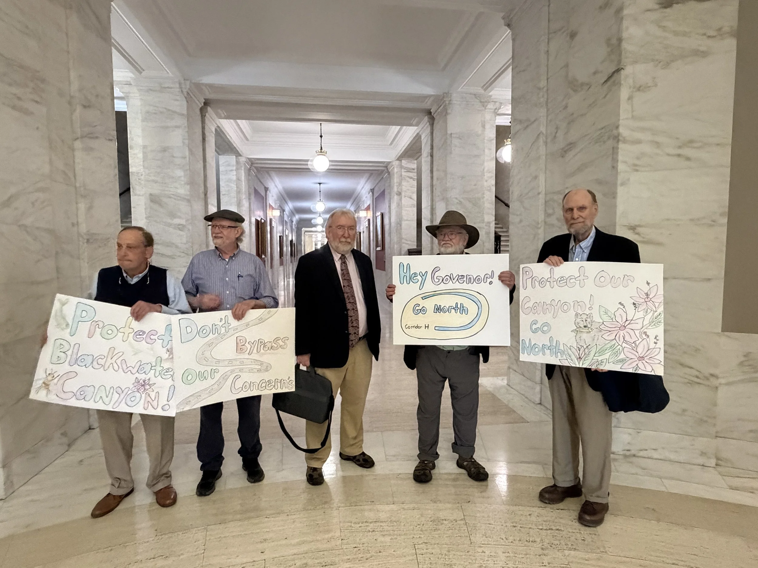
On April 1st, 2026, our community showed up in a big way. Together, we delivered more than 3,000 petition signatures to the Governor’s Office—sending a clear message: it’s time to Go North.
Supporters from across Tucker County and beyond gathered at the Capitol to stand up for Blackwater Canyon—not just as a beautiful place, but as a vital part of our local economy, outdoor recreation, and way of life.
As shared during the event, this decision isn’t just about a highway—it’s about the future of one of West Virginia’s most treasured landscapes and the communities that depend on it. Thank you to everyone who signed, showed up, and continues to speak out. We’re not done yet.
Current Go North News!
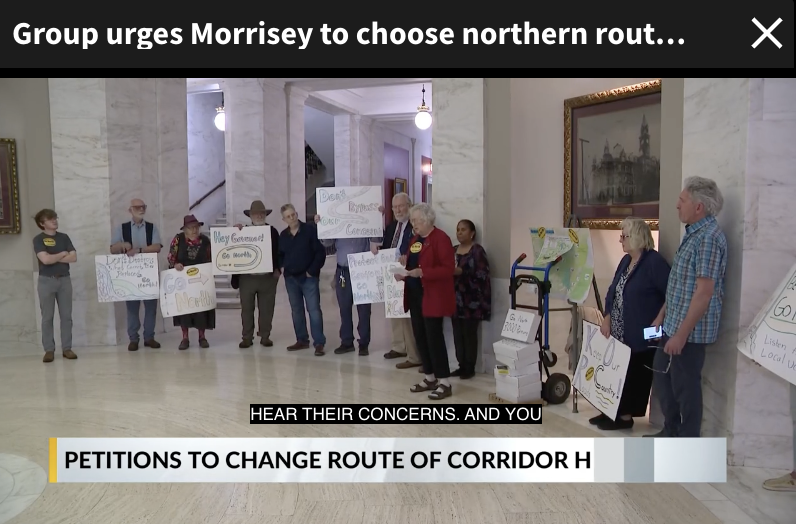
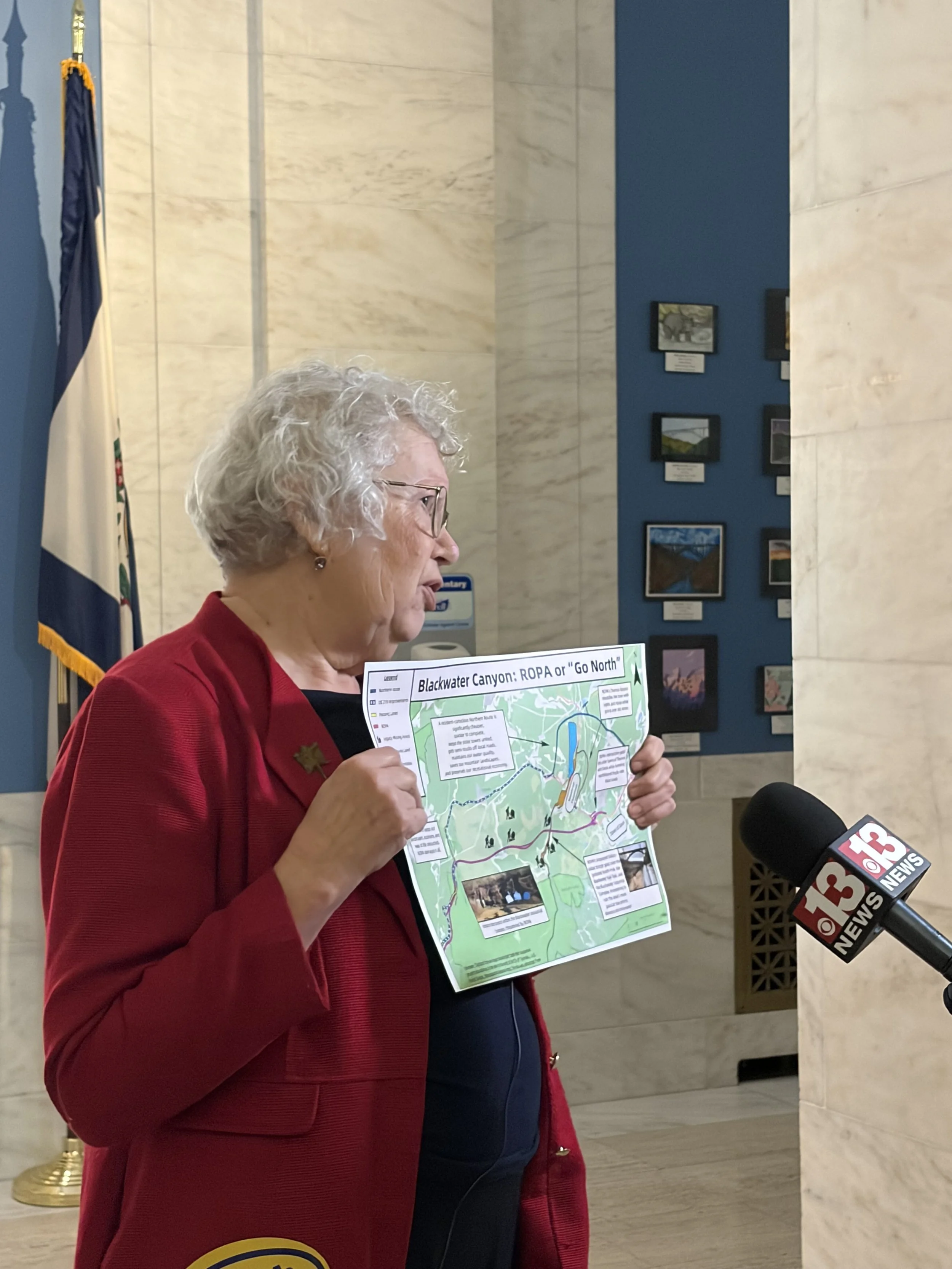
4-1-2026: WOWK Channel 13 News - Friends of Blackwater Canyon delivers signatures urging northern route for Corridor H
4-1-2026: Weston Today: Tucker County Residents Urge WV Officials to Reroute Corridor H
4-1-2026: My Buckhannon: Friends of Blackwater Canyon delivers 3,000+ signatures urging the governor to choose northern route for Corridor H
Corridor H Heading to Parsons, WV
Much has changed since Corridor H’s inception in 1960’s. Since then, heavy industry’s dominance has precipitously declined throughout the country. In Tucker County, a new economy based on our gorgeous landscapes and unique culture has emerged. That contrast, between a highway designed for another era and the vibrant economy and community Tucker County is today, is perhaps the fundamental conflict between the ROPA (the Revised Original Preferred Alignment) and the the Northern Route.

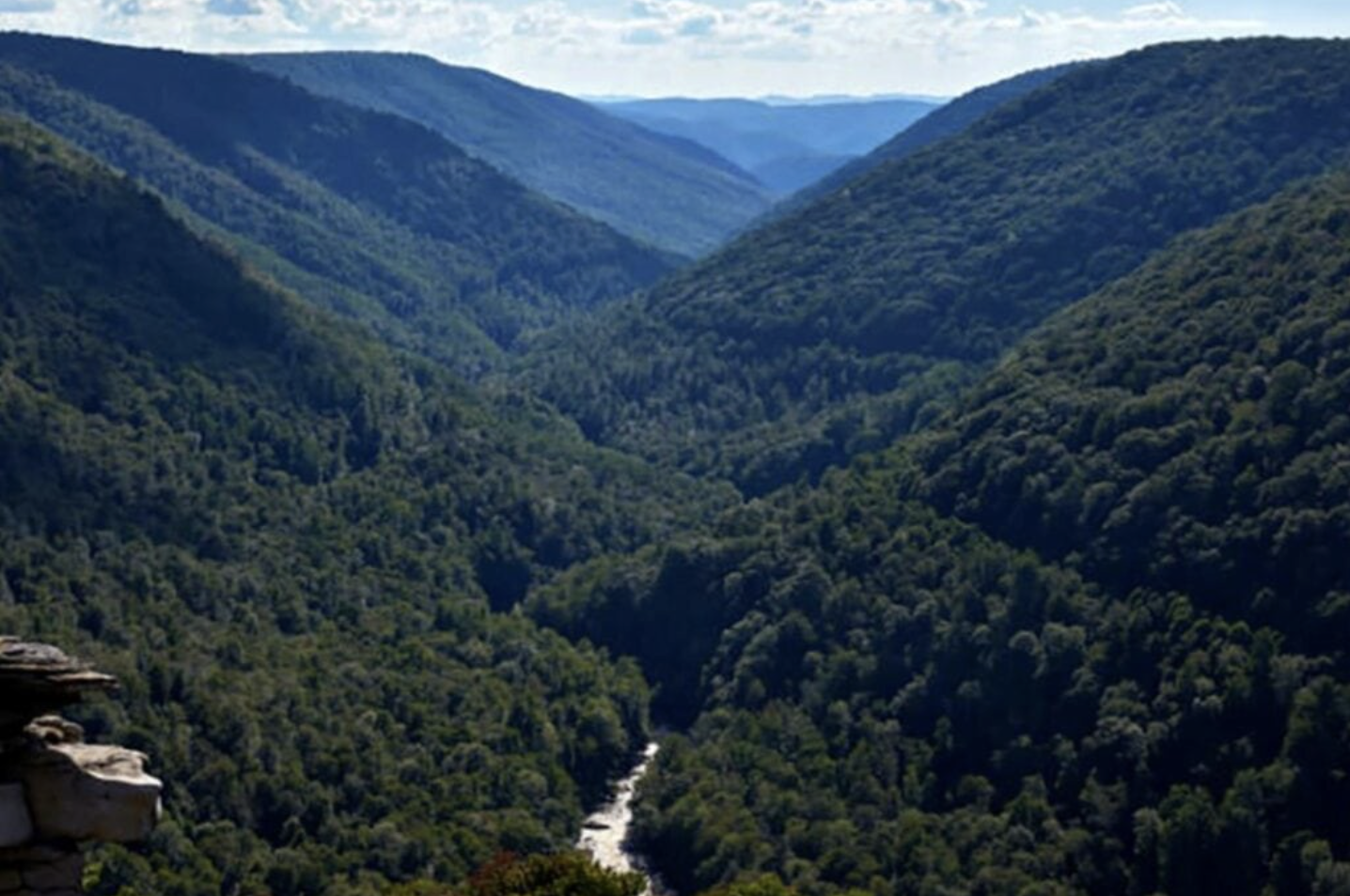
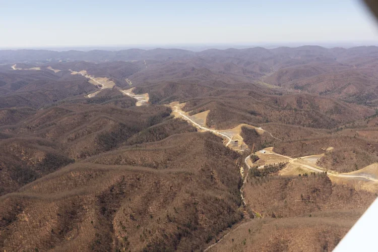
Photo Credit Kent Mason
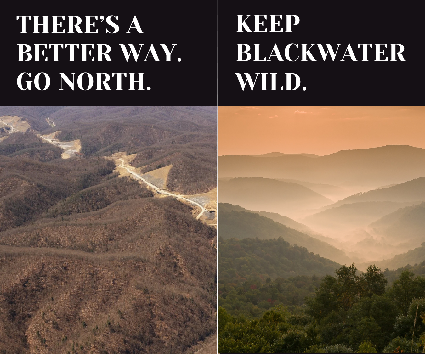
Designed with trailer trucks in mind, Corridor H has been plagued with issues. Slow and disturbing construction, damages to nearby ecosystems and communities, and unfulfilled promises of economic prosperity are just some of them. ROPA, the WV Department of Transportation’s (WVDOT) preferred route, will cross over the North Fork of the Blackwater River, the Thomas Rail Trail, and old, easily-disturbed mine tunnels.
But, there is an alternative. A simple route shift, passing North of Thomas and continuing along Route 219, will meet transportation needs without the destroying what makes this place special. In 2024, the Federal Highway Administration intervened and forced the WVDOT to study a Northern Alternative. The WVDOT will decide which route to take in their Environment Impact Statement, the draft of which comes out in June 2026.
The Northern Route’s success lies in community support for the route. Educate yourself, sign our petition, and become a member. We’ll let you know when it’s time to comment and show the WVDOT what the community wants.
Our Northern Route

Interactive Map of the Routes
See how ROPA and a Northern Alternative stack up
Click here to open in a new tab.
Flyover of Corridor H Construction

Holly Meadows Bridge Construction

North Fork Planned Bridge Area
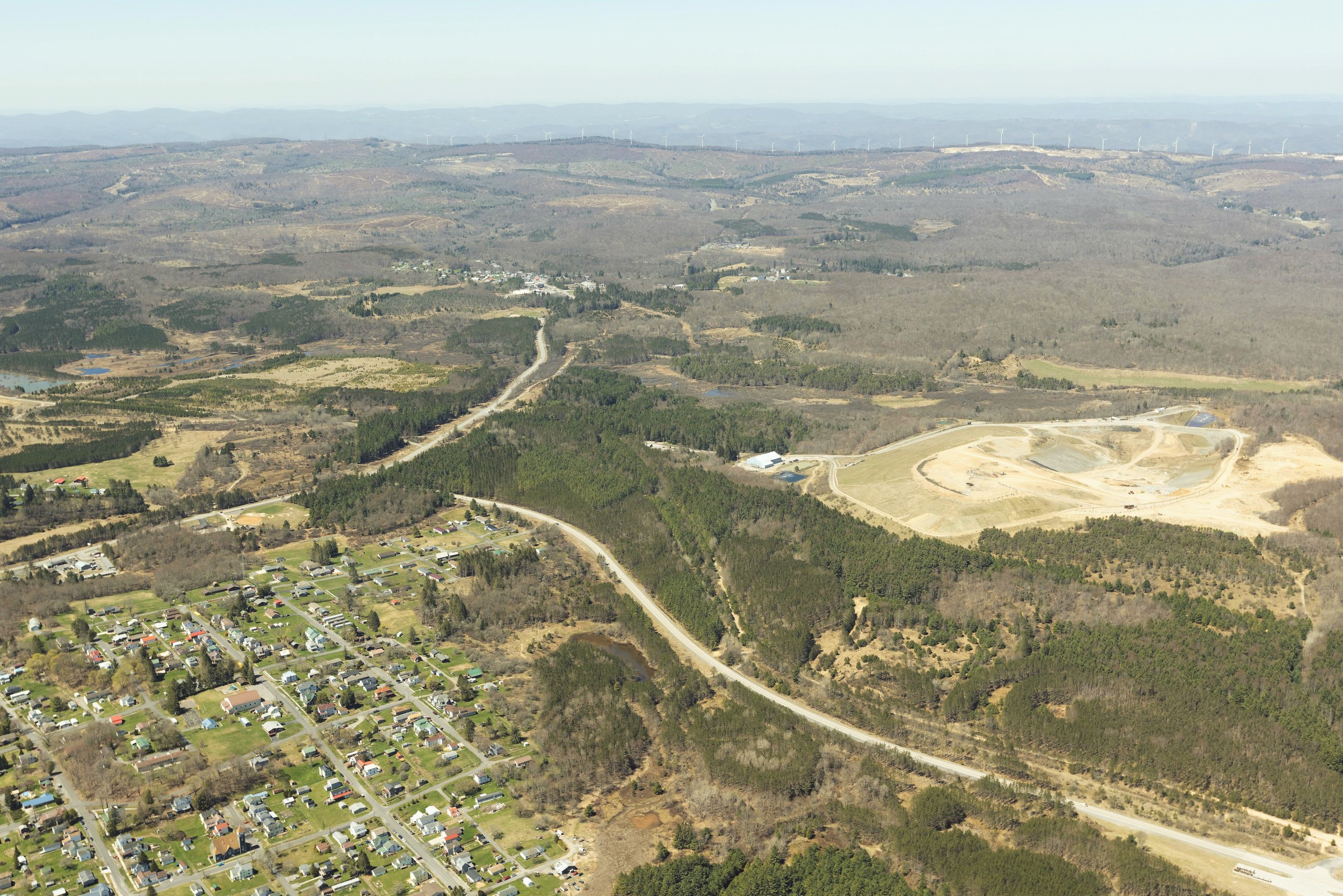
Davis Planned Intersection Area